

AutoDEM 1.6
Create Digital Elevation Models (DEM) from scanned topographic maps for Windows
Share
Edit
Rate this app
Program info
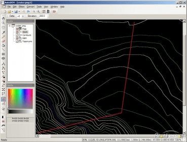
AutoDEM (aka as AutoMNT) is a freeware GIS software to create Digital Elevation Models (DEM) from scanned topographic maps for Windows.
Through different data layers (map, contours, DEM, etc.), AutoDEM provides many tools for :
-Topographic map analysis
-Contour lines extraction and reconstruction
-Contours to DEM interpolation and DEM analysis
-DEM to TIN conversion
-Toponyms extraction
Most of the worldwide file formats used in the GIS community are supported. AutoDEM can also directly import data from web servers (TerraServer, WebMapService, WFS, …)
Details
Extensions

No information available
The data will be available later.


Comments